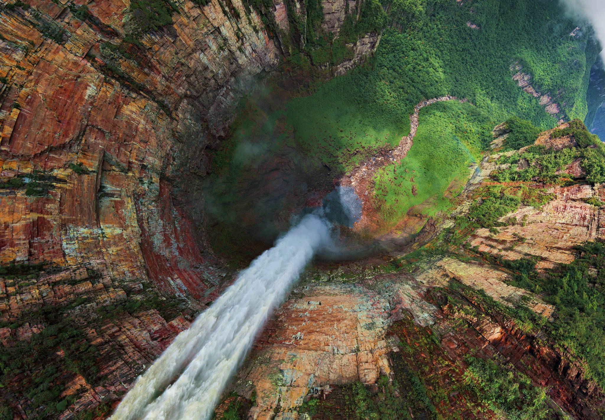
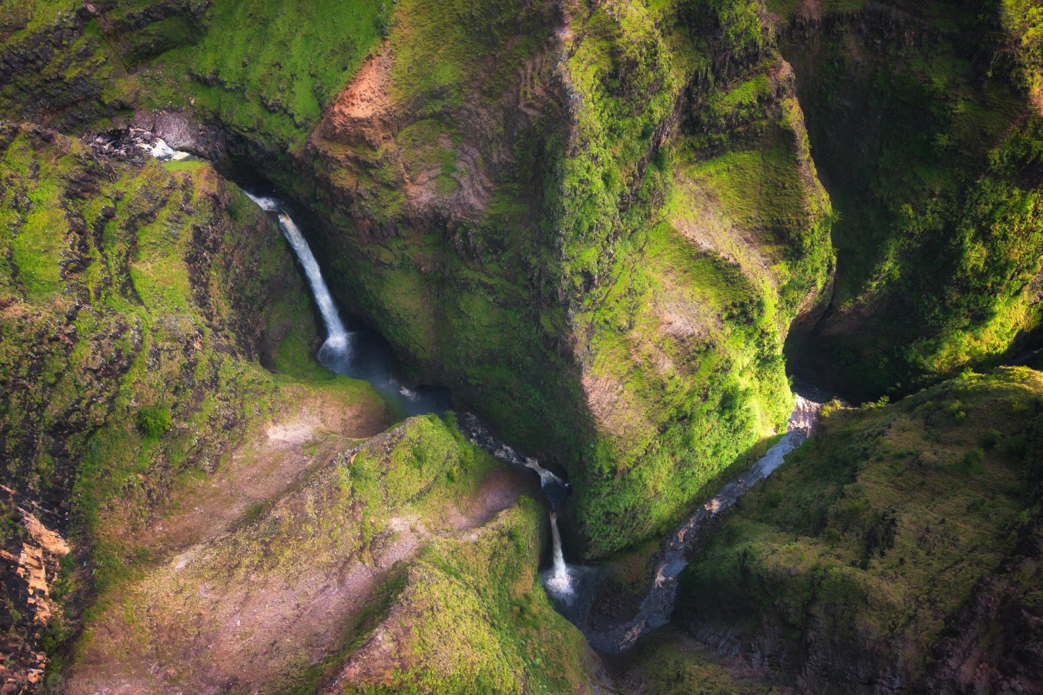
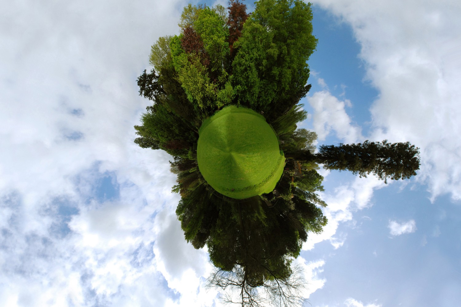
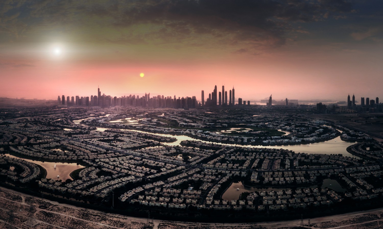
What do The North Pole, Bryce Canyon, the Sagrada Família, and The Great Wall of China all have in common? Well, other than the fact that they’re probably on every wanderluster’s bucket list, they’re also 4 of the 200+ locations captured in gorgeous aerial panorama by the group of Russian photo enthusiasts that started the AirPano project.
A not-for-profit project, “focused on taking high-resolution aerial panoramic photographs” from helicopters, airplanes, hot air balloons, and multi-copter drones, AirPano claims it is:
The largest resource in the world — by geographical coverage, number of aerial photographs, and artistic and technical quality of the images — featuring 360° panoramas of the highest quality shot from a bird’s eye view.
Oh, and as of a month ago, they’re also 500px members!
They publish aerial tours of some of the most beautiful places on Earth, and recently began uploading some of their most beautiful imagery to 500px for the community to enjoy as well because, in their words, “we love 500px!”
AirPano‘s work has been published in National Geographic, GEO, Der Spiegel, Daily Mail, and many other publications on multiple occasions.
Year after year they win awards and are offered grants to continue doing the work that they do — namely, capturing spectacular aerial photographs and panoramas of places like the Drakensberg Mountain Range in South Africa:
When AirPano won the 360° category at the Panoawards in 2014, co-founder Sergey Rumyantsev gave a short interview that he was kind enough to send our way.
He offered some fascinating details about how these images come to be, what kind of planning goes into them, and the kinds of challenges they have to contend with when they’re creating photo-spheres:
Q: How are the pictures captured? How long does it take?
A: We shoot our air panoramas in a variety of ways, both with large helicopters, and a radio-controlled “flying” camera. We use typical SLR cameras (Nikon, Sony or Canon) with wide-angle lenses attached. The process is not very long, and it only takes 30 seconds to shoot 6 or 7 shots for a single sphere.
Q: Whenever it is an aerial picture, how is it the logistics? Do you hire a helicopter? How long do you have to be up there?
A: Our logistic is very simple: we arrive on-location, rent a helicopter for few hours, and then just fly and photograph. That’s how we did it in Rio de Janeiro or São Paulo. In places that demand not only a simple overview, but more detailed photographs, we use radio-controlled camera drones.
In this case we plan a few days for shooting process, because we need to photograph every object individually, choose safe take-off locations, and determine the best time. Flight of our camera takes 10 minutes.
Q: What is the most difficult thing about making aerial photos? Do you need special equipment?
A: Difficulties are like in usual shooting: to get an artistic shot everything have to work in concert with the light, the place, the weather, and your technical capabilities.
For example, you can take a beautiful shot in the fog, but your lens can get wet or you can lose control of your drone because of humidity. Of course, we use special techniques for shooting panorama, part of them are constructed specially for our tasks.
Q: Do you sell those pictures afterward?
A: We are often approached about purchasing our photos. We get these requires from travel magazines, interior designers and private persons. Although we don’t have a “sales office,” we have gained experience in distribution of our photos. (Editor’s Note: They also license their photos through 500px Prime folks!)
Q: Does anyone help you with your photos, or is it a solo process?
A: The majority of our trips are planned and realized by ourselves, but we are always glad to accept help. For example, a Greek touristic agency helped us get permissions, placement, and logistic in Greece.
Ordinary people often meet our team, help with transport and orientation in the area and help to contact with local government. That was the case in Pisa (Italy).
Q: What is your inspiration when you think about where the photo is going to be taken?
A: It is a challenge to create a beautiful panorama that nobody has captured in this way before. Usually a photo shows only one insignificant angle of view. But we have to find optimal composition for the whole space in 360 degrees.
Q: Which picture do you like the most, and why?
A: Among our photos I like photos of Barcelona, New York, Iguazu Falls, and eruption of the Plosky Tolbachik Volcano. In these photos, I was attracted by the scope of objects, created by people’s hands and the “hands” of nature.
I also like our “chamber” projects, like the Christ the Redeemer Statue in Rio de Janeiro, Nazca Lines in Peru, Santorini Island in Greece, or the Abbey Mont Saint-Michel in France. We got opportunity to create unusual camera angles and capture the true spirit and beauty of these places.
Q: What was the most difficult photo you ever took?
A: In my opinion, the most difficult was the photo of volcano in the Kamchatka. The temperature inside and outside the helicopter was -25°C. Plus, ash and stones were showering us the whole time, threatening to damage the helicopter. We were struggling to breathe because of the gases when we were photographing over the effluent lava.
We want to take a second to thank AirPano for sharing these awesome answers with us, and for using 500px and 500px Prime. The community has fallen in love with their epic aerial imagery, as have we at 500px HQ.
To see more, be sure to follow them on 500px, visit the AirPano website, give them a follow on Twitter and Facebook, or license their images on 500px Prime.


Leave a reply